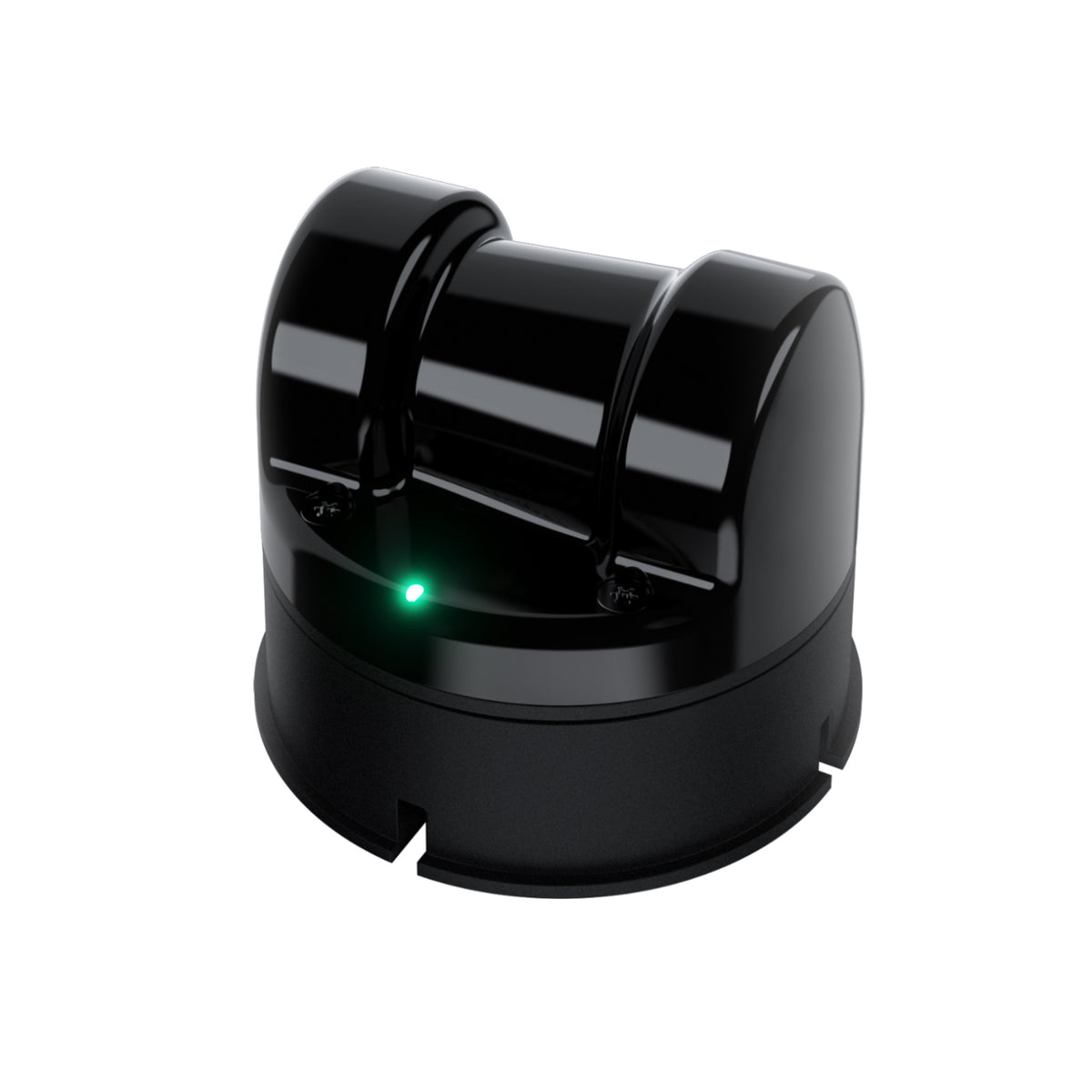
Description
What Unitree 4D LiDAR L2 is for
Provide spatial sensing for robot perception, mapping and navigation development.
L2 is a separate 4D LiDAR version; compare its current specification and interfaces with L1 before selection.
Where it fits
- Mobile robot mapping and obstacle-detection research
- Sensor integration and perception algorithm evaluation
Practical advantages
- Adds spatial observations to the robot perception stack.
- Can be evaluated alongside cameras and other sensors for the intended environment.
- Supports repeatable testing of mapping and navigation software.
Choose the right configuration
Verify the exact sensor version, field of view, range, update rate, interfaces and power requirements. Assess mounting, calibration, lighting and surface conditions. A LiDAR sensor is not automatically a certified personnel safety device.
Discuss your project
Tell us your task, location in the UAE, required quantity and operating conditions. Desert Horizon will confirm the offered configuration, availability, warranty and support scope. Product prices are in AED; delivery is agreed and charged separately before dispatch.
Catalogue specifications
| Configuration | Model / EDU and accessory options confirmed in quotation |
|---|
Manufacturer product information ↗
Plan a successful deployment
Start with the exact robot or mechanism revision and record the required electrical, mechanical and software interfaces. Validate the component on a controlled bench setup before installation. Keep the part number, compatibility confirmation and manufacturer instructions with the equipment record. After integration, check the system under its intended load and duty cycle rather than relying on a brief unloaded demonstration.
For Unitree 4D LiDAR L2, use the configuration guidance above to prepare your project brief. Ask us to confirm the exact supplied equipment, integration responsibilities and acceptance scope.
Reviews
There are no reviews yet.